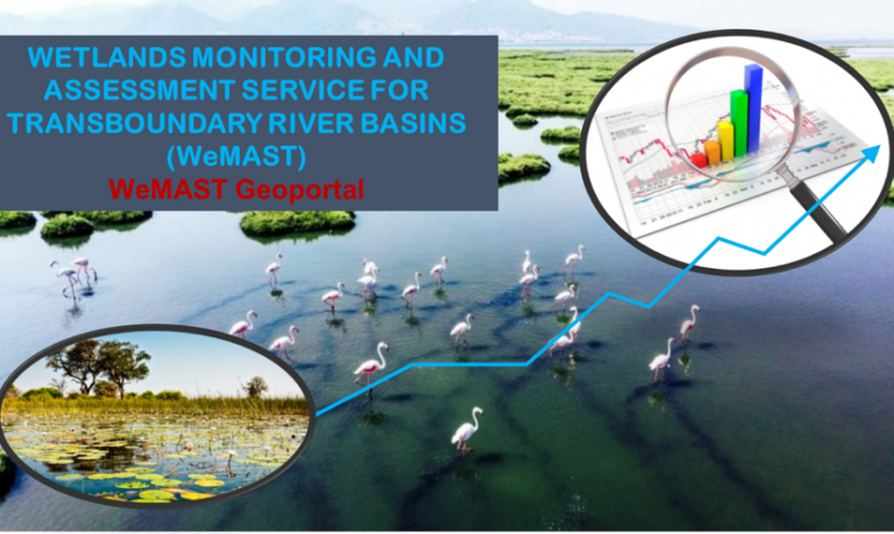
SASSCAL conducted a training course “WeMAST Training on Earth Observation Products Validation and Geoportal Use” on the 24 – 25th June 2021. SASSCAL is the lead of the Wetland Assessment and Monitoring Platform for Transboundary River Basins in Southern Africa (WeMAST) consortium. The latter is comprised of technical partners from leading academic institutions (Midlands State University, Zimbabwe, University of Botswana, University of the Western Cape, South Africa and University of Zambia). The private sector consortium, Technology and Science Consulting (TS) has supported SASSCAL in the finalisations of the Geoportal and production of earth observation services. WeMAST is funded by the GMES and Africa Support Programme, an initiative of the African Union and the European Union Commission.
The course is tailor made to capacitate stakeholders in the region on how Earth Observation (EO) data can be used to monitor wetlands as well as available spatial-explicit online-based wetland EO and in-situ data and products. Earth observation data and products were provided by the Copernicus Program of the European Union.
This training course fulfils the training strategy of GMES & Africa support programme, which highlights that EO deserves continuous training and capability building of specialists because;
Earth Observation (EO) technology is dynamic in terms of infrastructure and instrumentation,
data specifications vary with changing instrumentations, hence the need to keep it up to date,
processing software are evolving on a continuous basis and,
there is a need to satisfy a dynamic user community and effective ingestion in daily decision making processes.
The expected outcomes of the course were to familiarise users with EO product development and validation in relation to the WeMAST Geoportal, understand the wetlands components that can be visualised on the WeMAST Geoportal, access wetlands information and products via the geoportal and lastly to make recommendations on improvements that can be made on the WeMAST Geoportal in relation to participants’ work experience and user needs.
A total of 56 participants we registered and constituted the students (including WeMAST funded postgraduate students), scientists, water authorities, wetlands managers, as well as participants drawn from the private sector. Attendees were from the various parts of the continent of Africa demonstrating great interest for wetlands monitoring and assessment in the region, as well as the need for their sustainable management conservation.
During her closing remarks, Dr. Jane Olwoch, Executive Director for SASSCAL put in the spotlight the role of wetlands in contributing towards a productive and healthy society and the importance of technology such as the use of remote sensing and EO data to ensure the safeguarding of these ecosystems through improved monitoring and assessment. She further highlighted the importance of multi-stakeholder cooperation which ensures complementarity in ideas and technology sharing as well as resource mobilisation which will enable the WeMAST project to achieve its goals.
The WeMAST project’s aim is to design, develop and operationalise an integrated EO based platform that can provide wetlands information services to target groups and end users. The target basins are the Cuvelai, Limpopo, Okavango and Zambezi, covering the following countries: Angola, Botswana, Namibia, South Africa, Zambia and Zimbabwe. The WeMAST project is also established to ensure human and institutional capacity development in accessing, processing and utilizing products of this service, in line with the project concept called ‘with the Users for the Users’.


Leave a Reply